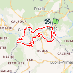
Autour de l'Aveyron de Agnac à Ampiac

tracegps
User


3h45
Difficulty : Very difficult

FREE GPS app for hiking
 SityTrail
IGN / Geographical institutes
SityTrail Plus
The world is yours!
About
Trail Mountain bike of 15.7 km to be discovered at Occitania, Aveyron, Druelle Balsac. This trail is proposed by tracegps.
Description
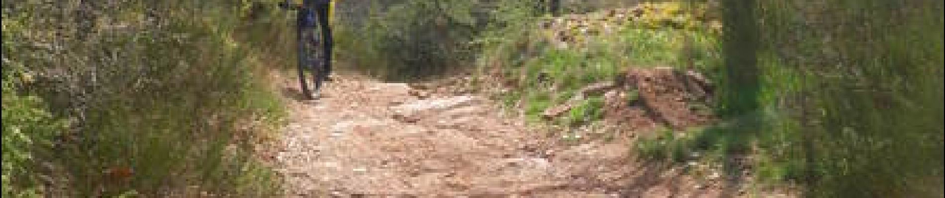
Circuit très physique et technique surtout dans les descentes. Prévoir des chaussures adaptées à la marche car du portage est au programme plus des traversées de gués. De superbes panoramiques sont au programme et avec un peu de chance vous croiserez le Lama. Bonne balade à vous !
Photos


Positioning
Comments